

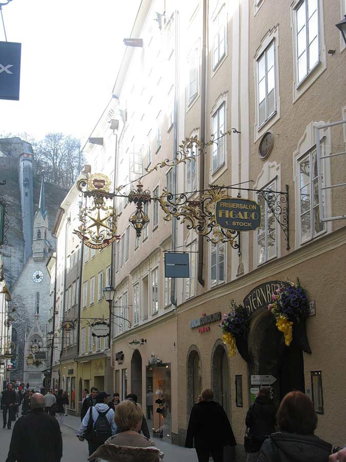
Terminals and stations.
At the stations of major cities have almost everything you need traveler. It works tourist information centers where you can obtain a free map of the city, from early morning until late at night and cafes, be sure to have a toilet, and sometimes - shower.
Highways.
The road network.
Expressways (Autobahnen) are designated by letters A (for national roads) or E (for the pan). There are also high-speed (Schnellstrassen) and federal roads (Bundesstrassen). This is the main road, laid as straight, as far as the territory, sometimes with the use of tunnels for the rectification of the way. In mountainous areas there are small roads that pass through the mountain passes.
Flag.

The red-white-red flag of three equal horizontal bands. Cross red-white-red stripes appeared on the arms during the reign of Babenberg Duke Frederick II. The use of three bands with the combinations of colors associated with the events of nearly a thousand years ago. According to legend, a member of the Third Crusade Duke Leopold V Virtuous (Leopold V. der Tugendhafte, 1157-1194) in one of the battles killed so many enemies that smeared the blood all his white robe, except for the band, the closed zone.
The Climate Of Austria
Climate, geographical position
The North-Eastern part of Austria has a temperate humid continental climate with cold winters and warm summers. The average January temperature in the plains and in the foothills of 1-4 °C, July 15-18 °C.
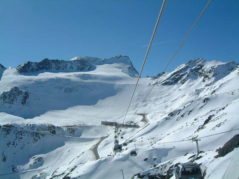
Mountains have a strong influence on the distribution of rainfall. On the windward northwestern slopes of falls significantly more rain than on the leeward South-East. The snow in the mountains is 7-8 months out of the year.
A characteristic feature of the Alpine climate - warm and dry wind from the mountains, in the Austrian Alps called the dryer (FÖhn). This word is widespread in the world, and is used not only to refer to similar weather events, but also as the name of the device for drying hair.
Tour Austria is good at any time of the year, except late autumn and early spring rains. The ski season lasts from late November to February.
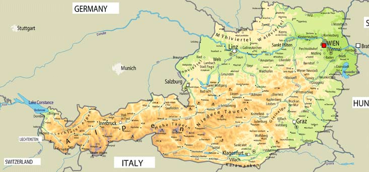
Relief.
Austria - one of the most mountainous countries in Europe: The Alps occupy about two-thirds of the territory. The ridges are oriented mainly from west to east. The axial zone of the Eastern Alps reaches the heights of 3300-3500 m above sea level. The highest point - Mount Grossglokkner (Grossglockner, 3797 m). Peaks over 3,000 m, usually covered with ice year round. Along the axial zone (north and south of it) stretches the lower ranges, but with no less steep slopes, large dissection and development of karst.
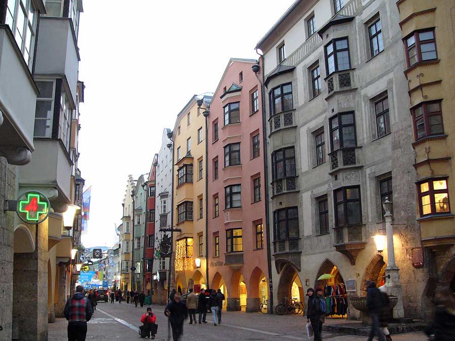
A characteristic feature of the Austrian Alps - the presence of large longitudinal valleys between mountain ranges. From these valleys of rivers Inn, Salzach, Enns, laid railroads and highways.